
Drone Photography & Aerial Marketing
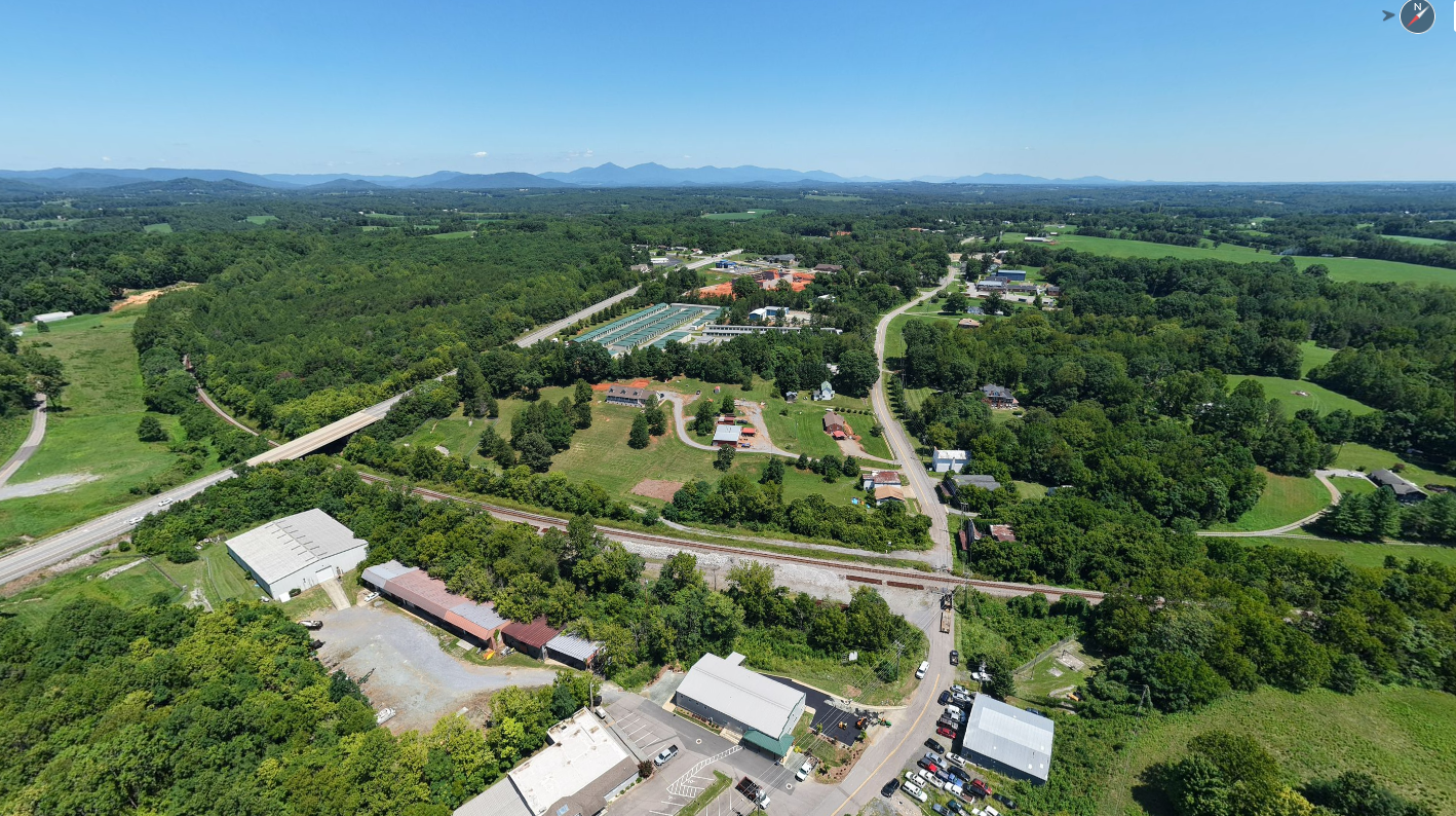
Drone photography provides a unique perspective that traditional photography simply cannot capture. Whether you're showcasing acreage, waterfront property, neighborhood amenities, commercial buildings, or a home's relationship to the surrounding area, aerial imagery helps buyers gain a better understanding of the property and its location.
Drone Photography Add-On — $100
Add 4–6 professionally edited aerial photographs to any scheduled media project. Ideal for residential listings, smaller lots and properties where aerial perspectives help showcase the home, lot and surrounding area.
Standalone Drone Photography — $225
Includes 10–12 professionally edited aerial photographs, a ground-level photograph when feasible and a property-outline image when the property boundaries can be reasonably identified.
Ideal for vacant land, larger lots, farms, waterfront properties and listings that benefit from more comprehensive aerial coverage.
Add this disclaimer beneath both options:
Drone photography is subject to weather, airspace restrictions and safe operating conditions. Property outlines are approximate, intended for marketing purposes only and do not represent a survey or legal boundary. Outlines may not be available for large tracts, properties with unclear boundaries or multiple parcels.
Additional Drone Services

FAA Certified & Safety Focused
All Shows Great Media Group photographers who provide drone services hold a current FAA Part 107 Remote Pilot Certificate and operate in accordance with all FAA regulations and safety requirements.
Our team carefully evaluates airspace restrictions, weather conditions, temporary flight restrictions, and property location before every flight. While we strive to provide drone services whenever possible, FAA regulations and safety considerations may prevent drone operations in certain locations or under certain conditions.
Examples may include:
Restricted airspace near airports
Military installations
Temporary flight restrictions
Unsafe weather conditions
Areas where FAA authorization cannot be obtained
Our commitment to safety and compliance ensures every drone flight is conducted responsibly while delivering exceptional aerial imagery for your listings.
Elevate Your Listing
Drone photography helps buyers understand the full story of a property—from lot size and location to views, waterfront access, surrounding amenities, and neighborhood context. Combined with professional photography, floor plans, and video, aerial imagery creates a more complete marketing package that helps your listings stand out online.

Drone Flyover Video
Create a dynamic aerial presentation of your property with a professionally edited drone flyover video. Perfect for social media, property websites, luxury listings, waterfront properties, and acreage.

360° Drone Photo
Capture a complete aerial panorama from above the property. These interactive images allow viewers to explore the surrounding area and are especially effective for waterfront properties, mountain views, large parcels, and unique locations. View 3D Tour